

Alvin Expected To Form In East Pacific
The first tropical storm of 2025 in the Western Hemisphere will be on the map this week off the southwestern coast of Mexico,about two weeks after the beginning of the Eastern Pacific hurricane season.
Where it is now:The map below shows the disturbance the National Hurricane Center has been monitoring for a high chance of tropical development located to the south of Acapulco,Mexico. It's expected that this system will soon become Tropical Depression One-E or Tropical Storm Alvin once its circulation center becomes better defined.
(192-hours:Further beef up your forecast with our detailed,hour-by-hour breakdown for the next 8 days – only available on our Premium Pro experience.)

Is this a threat?: This system is several hundred miles south of the Mexican Pacific Coast,and it is slowly moving west-northwestward.
The majority of computer forecast models suggest future-Alvin should continue moving west-northwest over the next day or two before it then turns northward.
After that,it is expected to move into a more hostile environment of wind shear,cooler water and drier air. What's more uncertain is if the system will fizzle offshore,or if it will curl northeastward toward a part of the Mexican coast in a weakened state around Saturday.
At any rate,high surf and rip currents are likely along parts of Mexico's Pacific coast west of Acapulco later this week.
And bands of locally heavy rain can be expected near the coast generally to the north and east of the system's track,with flash flooding and mudslides possible.
Remnant moisture from future Alvin in combination with an upper low could also ignite an uptick in thunderstorms over the Southwest U.S. this weekend.

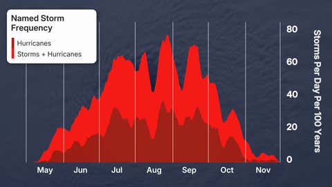
The season is beginning: As senior meteorologist Chris Dolce wrote about earlier this month,the Eastern Pacific hurricane season officially begins on May 15,two weeks earlier than the Atlantic hurricane season.
While many Eastern Pacific tropical storms and hurricanes move west-northwest and eventually fizzle in the open ocean,some do strike land,as we saw in 2023 with the remnant of Hurricane Hilary in the Desert Southwest and with Category 5 Hurricane Otis in Acapulco,Mexico.
Sara Tonks is a content meteorologist with www.weathernow24.com and has a bachelor’s and a master’s degree from Georgia Tech in Earth and Atmospheric Sciences along with a master’s degree from Unity Environmental University in Marine Science.